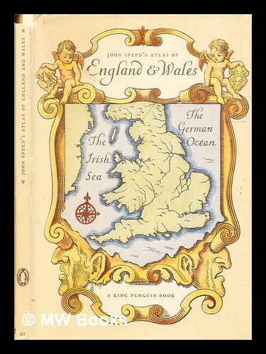
An atlas of Tudor England and Wales : forty plates from John Speed's pocket atlas of 1627 / described by E.G.R. Taylor
1951, Reprint. London: Penguin Books. Near fine cloth copy in a near-fine, very slightly edge-nicked and dust-dulled dust-wrapper. Remains particularly well-preserved overall; tight, bright, clean and strong. Item #332618
Physical description; 32 pages : illustrations ; 19 cm. Subjects; Early maps ; Facsimiles. Historical geography ; Maps. Wales Maps ; Early works to 1800. Great Britain History Elizabeth, 1558-1603 ; Maps.
Price: €14.95